17 years of helping Indian businesses
choose better software
3-GIS Network Solutions
What Is 3-GIS Network Solutions?
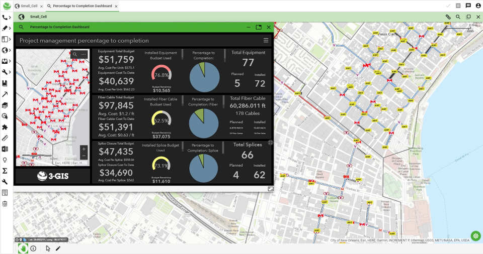
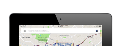
Since 2006, 3-GIS has been providing geospatial asset management solutions for fiber network planning, design, construction, and management. Our network solutions produce strand-level, real-time data that is used to inform business decisions across entire organizations, enable prescriptive design automation for expedited service activation and revenue realization, and facilitate collaboration with browser and mobile access in one seamless system.
Who Uses 3-GIS Network Solutions?
Telecom carriers. Network service providers. Engineering service firms. Backhaul providers. Utilities and municipalities. Private networks.
Not sure about 3-GIS Network Solutions?
Compare with a popular alternative

3-GIS Network Solutions
3-GIS Network Solutions Reviews for Indian Users
Good solid set of tools to extend the ArcGIS platform for Fiber Design & Mgmt
Pros:
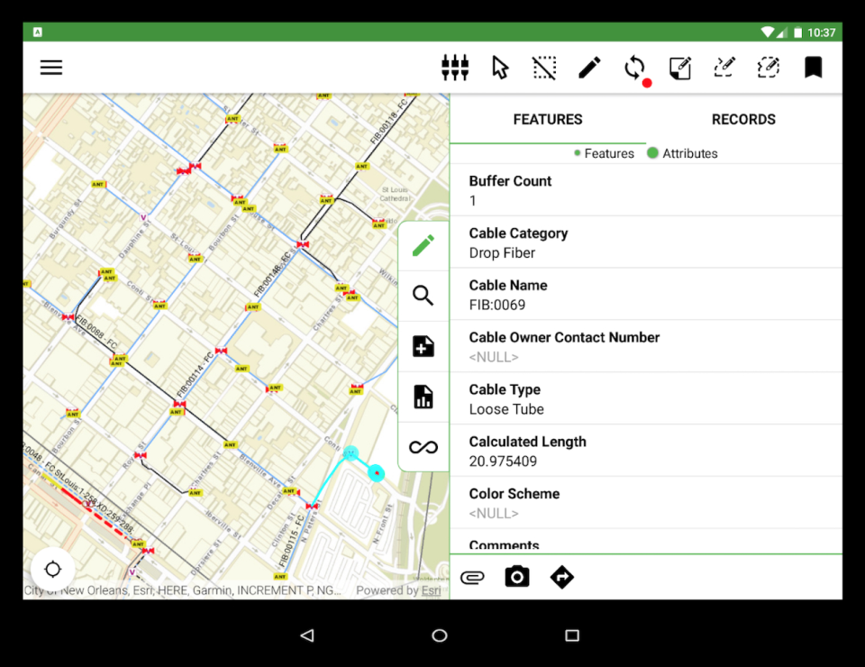
For me the main benefits of this software is that it sits on top of the Esri tools that many already use and that it has Web and Mobile options including offline
Cons:
I find that the interface can sometimes be complex but given the level of functionality, this is always going to be a compromise
Good value for web-based GIS
Pros:
It is easy to do the basic stuff, smooth interface
Cons:
My first 10 years of GIS work were with ArcGIS, so I miss some of the features of that. One basic one is the fact that with each shapefile you could open an attribute table and manipulate many points of data at a time rather than one at a time like in 3GIS. You could also use this to make your own custom Excel tables with what ever data you wanted.
Telecom Application
Pros:
Has a nice feel and appearance. Looks to have room for ability for growth.
Cons:
Operates too slow and difficult to navigate at times.
Alternatives Considered:
Great support
Comments: Good
Pros:
The support team behind it is super and great to work with.
Cons:
It’s not as polished as it could be. To communicate with support it all done by tickets. Team Viewer sessions could iron out issues quickly if implemented.
Alternatives Considered:
A complete and efficient network management thanks to 3-GIS Network Solutions
Comments: As a future network engineer, I have used 3-GIS Network Solutions for several months and it has been a very positive experience so far. This tool is very easy to use and offers a wide variety of tools and functionalities that helped me manage and optimize the network of the company where I worked. As I mentioned before, I really liked the customization capability of the platform, because it allowed me and my team to adjust it to meet our specific needs. Finally, it remains to be said that I would use it again in the future without a problem.
Pros:
Although I've been using this software for almost a year, I think I'm ready to mention the following good points: Firstly, this platform was very easy for me to learn and very easy to customize to my liking. On the other hand, something that I still found great about this tool was that it easily integrated with other tools that I needed to use at that moment.
Cons:
I have to admit that the tool didn't give me many problems, so I haven't considered negative points as such, simply improving performance a bit as there are many users using it at the same time.
A year into 3GIS
Comments:
The team is great. it was a big switch going from 1 or 2 consistent people to a literal team with varied departments
This is good and bad as yes we have the expertise of varied departments but also tend to meet different people and perhaps lose some of that practiced cooperation with a certain individual.
regardless of that all 3gis team members have been dedicated and helpful. I feel they really try to assist us in all our request and wants
Pros:
3GIS is targeted toward the telecom industry which makes its implementation a great asset to have in the modern setting. The ability to have detail driven fields such as placement type, inventory code, usage, serving area all help to really focus in the data amounts. Connectivity was a oddity to get going and took a few months to really hit a stride with but once it was done the rest of the team really feel into place proving that although it was different it was also a great addition
Cons:
There are little "quality of life" issues with the software First of is it feels limited to be able to switch view based on field. In an ideal world id like to switch between seeing symbology based on -placement type- then on inventory status code- then serving area...without having to make completely different togglable layers also we've been having some trouble with availability tool, and although i understand how 3gis implements it , its proving to be a hurdle for certain team members to go back and track. It would be amazing to see a number based off the connectivity manager that subtracts the occupied data from the fiber count another is the drag and drop issue, which again I understand is mainly browser limitations but 60% of the time it creates more harm then good as we try to import things and they just end up corrupt and we have to repeat the process
Easy to use program, great for managing existing fiber.
Pros:
The product is intuitive and easy to use. It is easy to make administrative changes using ArcMap, and implement simple changes such as adjustments to the TOC or perform large queries that the browser cannot handle. Connectivity manager was easy to pick up as someone with no experience working with fiber connectivity
Cons:
Import feature is unreliable and cannot handle large files. If one fiber is corrupt in a file of hundreds of fibers, the entire import will fail rather than skip over the corrupt fiber. Cannot handle importing anything above 96 Count. There are also small glitches within the software, such as having to refresh after searching by address or else the snapping function won't work, or drop downs not working in customer locations until changes are committed.
Overall Very Solid
Comments: We use 3GIS to record our network in an interactive platform used to access our network information everywhere. 3GIS successfully meets this requirement and thus is a success.
Pros:
I honestly like every feature about 3GIS. My favorite features are the signal trace feature and the easy splicing feature. This program is able to easily record our network in its entirety; no part of our network is not recorded. This is great!
Cons:
The interface as a whole is not very invisible, meaning the user needs to constantly be thinking about how to do what they want in the interface as opposed to just thinking of solving the problems they have. There is also a pretty steep learning curve, and because there are so many steps involved in doing certain actions, the learning curve might be revisited in the future when I forget how to do what I want to do.
Layers and Filters
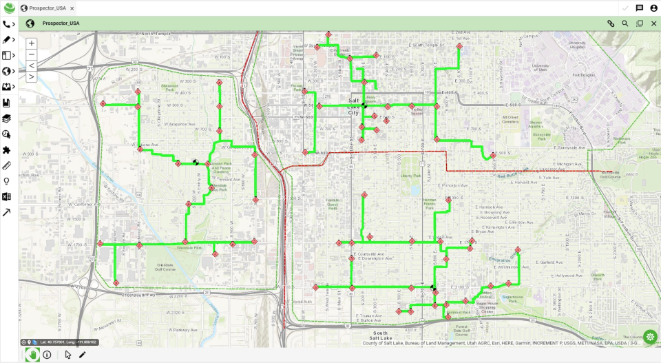
Comments: We use it to display our fiber optic routes in the metro Detroit area
Pros:
The system is easy to use and the multiple layers and filters allows the user to see what they want to see and help design routes.
Cons:
Can be a little glitchy at times but is usually resolved/fixes itself within hours, at very latest the next day.
3GIS Review
Comments: Over it has been a good program
Pros:
Easy to use and navigate Program can be customized to users need
Cons:
Some issues with lag time using software


