17 years of helping Indian businesses
choose better software
What Is D4H?
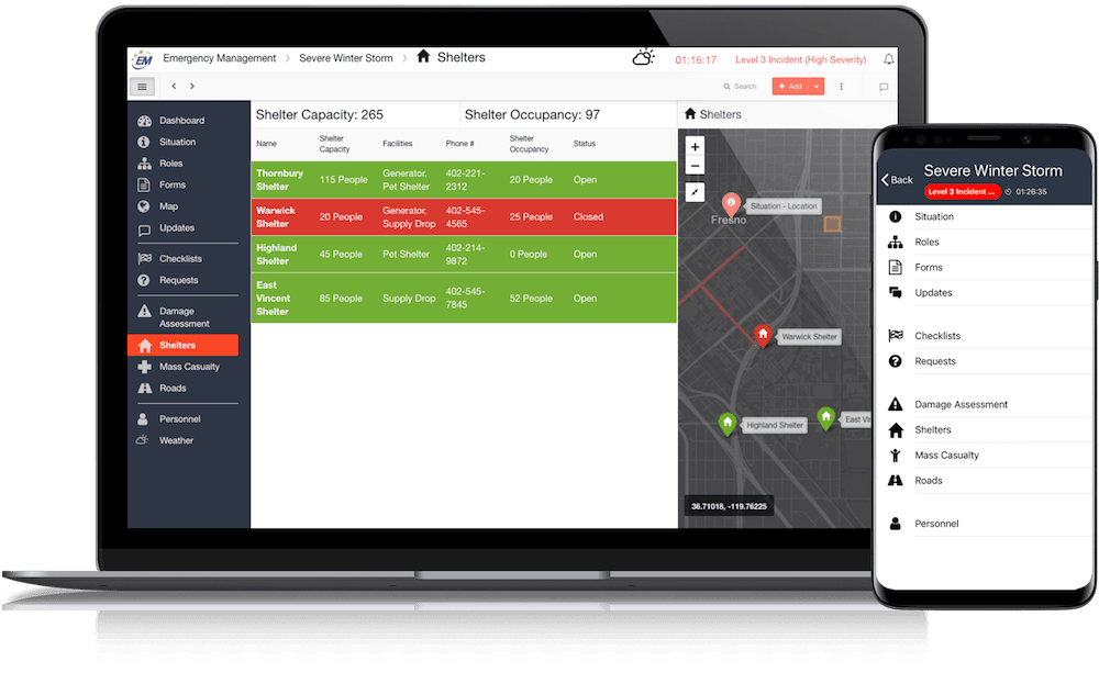
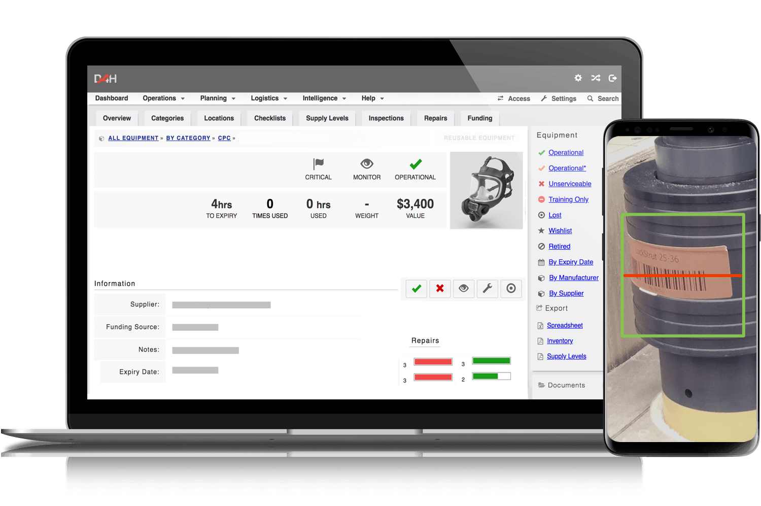
D4H is the cloud platform for emergency response; proudly supporting emergency operations in government, public safety, oil and gas, pharmaceutical, aviation, corporate, and healthcare organizations since 2008.
☁️ Cloud-based emergency management software
🕹 Extremely easy to use
⚙️ No-code customization
🤝 Commercial off-the-shelf service
🗓 Same-day deploy
Who Uses D4H?
- Emergency Management - Government & Public Safety - Corporate Crisis - Healthcare - Energy & Utilities - Oil & Gas - Pharmaceutical - Aviation - Transportation
Not sure about D4H?
Compare with a popular alternative

D4H
D4H Reviews for Indian Users
Average score
Reviews by company size (employees)
- <50
- 51-200
- 201-1,000
- >1,001
Find reviews by score

The software EOC managers have been waiting for...
Comments: We have solved a national issue of having a database that is integrated into incident management that registers evacuated animals. We can now register animals using volunteer's tablets or smart phones, and get real time statistics. In directly, our system could very easily provide a human registration system too (as we often need to associate an animal to a human evacuee), which makes sense because we still have areas using paper forms - its the 21st century! And all these paper forms have to get processed.... how? who? and bottlenecks, not to mention a lack of real time data to make good incident management decisions. This is the product EOC managers have been waiting for! Don't wait for "information management" to reappear in your after action report or debrief (again and again)... get D4H today!
Pros:
D4H IMS is so easy to use. With minimal IT expertise and no coding experience, I had this set up and customised to meet our organisations requirements in less than two days. Usually these projects go on for months with expensive consultants and the budget just gets blown out, but not with D4H IMS as you are in control of how you want it to look. No longer the tail wagging the dog, as it compliments existing processes. This is the kind of intuitive system, that you can sit someone down without any EM training and have them contributing to EOC operations within minutes. It's turnkey GIS platform uses ArcGIS makes visualisation incredible. And most importantly, the customer and implementation support is outstanding. If you don' t have this system, and you know there is an event coming your way such as a flood or hurricane in the next few days, you literally can have this going and ready if you had to - that's how easy and simple it is. Real-time viewing of sitreps, customiseable information boards, integrated GIS, full audit and logging system, real-time data collection (i.e. registration of evacuees, impact assessments - whatever you want to collect). We haven't used it yet to its full potential such as overlaying GIS data such as flood inundation which will be awesome. The list goes on.
Cons:
You can easily share information between organisations with links and reports, but still in progress is multi-level EOC integration (i.e. County - State - National) which would be the only draw back. Sure, there are always extra things any system can do. But it sure beats turning up to being confused with a sharepoint system that is not intuitive, or running an incident using post-it notes and an excel spreadsheet.


